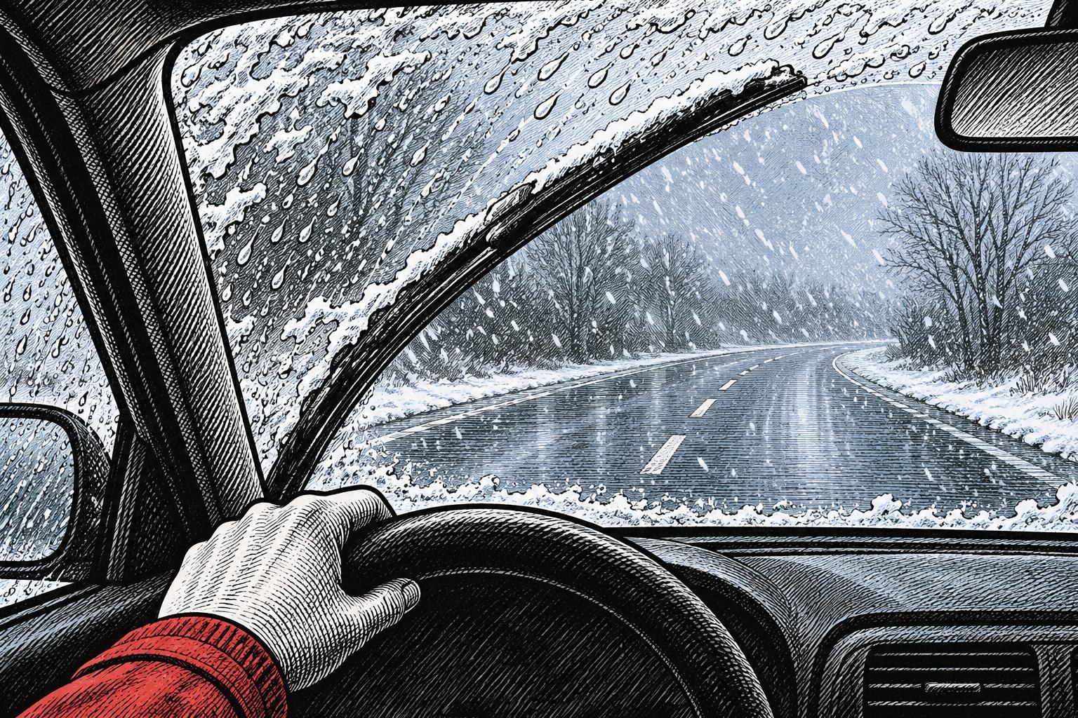
Wet snow fell in places on Sunday morning, November 22. In northern Poland, particularly Warmia and Masuria, snow cover could briefly increase by about 3–5 cm in places, and heavier showers could reduce visibility for drivers, according to TVN Meteo forecaster Tomasz Wakszyński. The overnight risk extends beyond the north: Poland’s Institute of Meteorology and Water Management (IMGW) forecasts lows of −3°C to 0°C across most of the country, with roads potentially turning slippery, Polsat News reports.
Wakszyński identified two bands of showers. In the north, a front associated with an approaching low is bringing a mix of rain and snow that turns to wet snow at times. The showers are brief but could return throughout the day in some places. The forecast for a temporary increase in snow cover applies to this northern band. In the second band, south of Warsaw, rain and a mix of rain and snow predominate.
IMGW expects further scattered showers of snow or mixed rain and snow overnight into Monday, November 23. For drivers returning after dark, visibility during a shower is only part of the picture. As temperatures fall to around freezing or below, roads could be slippery even where little snow settled during the day.
Sources
- TVN24 · Source date: 2026-11-22
- Polsat News · Source date: 2026-11-22
Independent editorial content. WUA is not affiliated with any political party. 2026-11-22