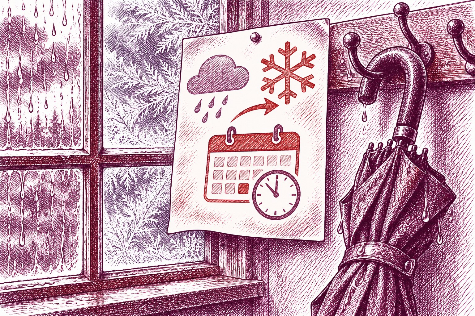
UKHSA cold-health alerts are due to begin at 21:00 GMT on Sunday in north-east England, north-west England and Yorkshire and the Humber. The important point is the timing: a milder, wet day is forecast before colder conditions return, so the brief thaw should not be mistaken for the end of the cold spell.
The BBC reports that the alerts will run until 09:00 GMT on Thursday. It does not state their level or set out specific actions for residents or local services, so those details should not be assumed from the forecast alone.
Before the alerts start, Sunday is expected to bring widespread rain across much of the UK. The BBC says southern areas could see thundery downpours, while mountain snow is possible in Scotland. It also says heavy bursts of rain and fallen leaves could create a risk of localised flooding where drains become blocked; that is a forecast risk, not a report of flooding already occurring.
Colder air is then forecast to move south on Monday after rain and wind ease. BBC Weather puts afternoon temperatures at about 5C to 8C across most of the UK, with northerly winds making it feel colder, particularly near eastern coasts. The far south-west may be milder before another Atlantic front brings rain and wind later.
This is a straightforward warning about sequence, not a reason to overstate the weather. Sunday’s rain and temporary milder air are followed by a defined regional health-alert period and a forecast return of frost and fog. People and services in the covered areas have a clear Sunday-night point at which the picture changes.
Source: BBC Weather.
Sources
- BBC UK · Source date: 2026-11-15
Independent editorial content. WUA is not affiliated with any political party. 2026-11-15