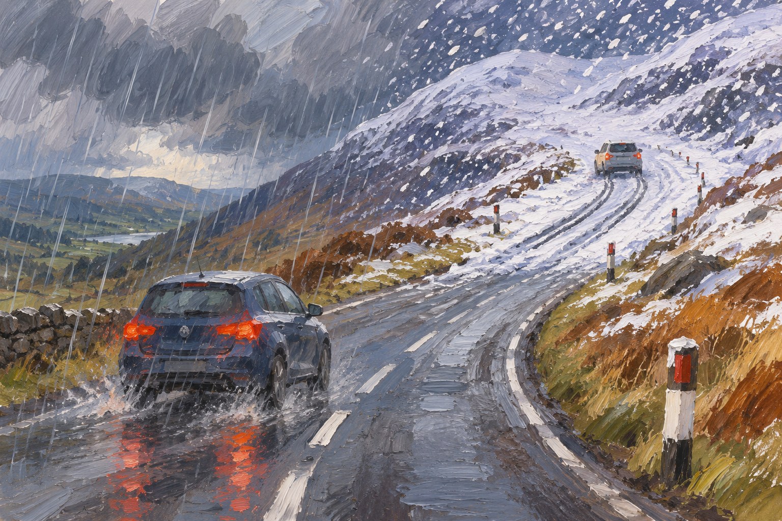
A Met Office yellow snow warning puts Tuesday morning’s most credible disruption risk on higher routes in northern England and southern Scotland, not across the whole country. That distinction matters: the forecast points to a brief but potentially awkward travel window for people crossing higher ground.
The warning is valid until midday Tuesday. The BBC reports that some locations above 300-400m could receive 5-15cm of snow, with smaller accumulations of around 1-5cm possible down to about 100m. The snow is expected to begin over the Pennines, then extend to the Cumbrian hills and Scotland’s Southern Uplands as rain meets colder, drier air.
The routes named in the report, the A74(M), A66 and M62, are important cross-regional corridors. Their inclusion makes this more than a generic winter forecast: conditions on elevated sections could affect journeys between England and Scotland and across northern England. Some rail services may also have longer journey times.
The forecast also identifies a secondary risk. Wet snow settling on power lines and branches, combined with 40-50mph gusts over high ground, could bring down branches or lines and cause localised power cuts. That is a forecast hazard, not a report that outages or closures have already occurred.
The strongest limit on the warning is timing and geography. The BBC says snow will probably turn back to rain by 09:00 in most places, while the heaviest totals are expected at elevation. The useful response is therefore targeted: people using higher routes early on Tuesday should check conditions before travelling, while lowland areas and the rest of the UK should not treat a regional yellow warning as a nationwide snow emergency.
Source: BBC Weather.
Sources
- BBC UK · Source date: 2026-11-17
Independent editorial content. WUA is not affiliated with any political party. 2026-11-17
UKHSA cold-health alerts: Sunday’s milder weather gives way to a defined cold spell